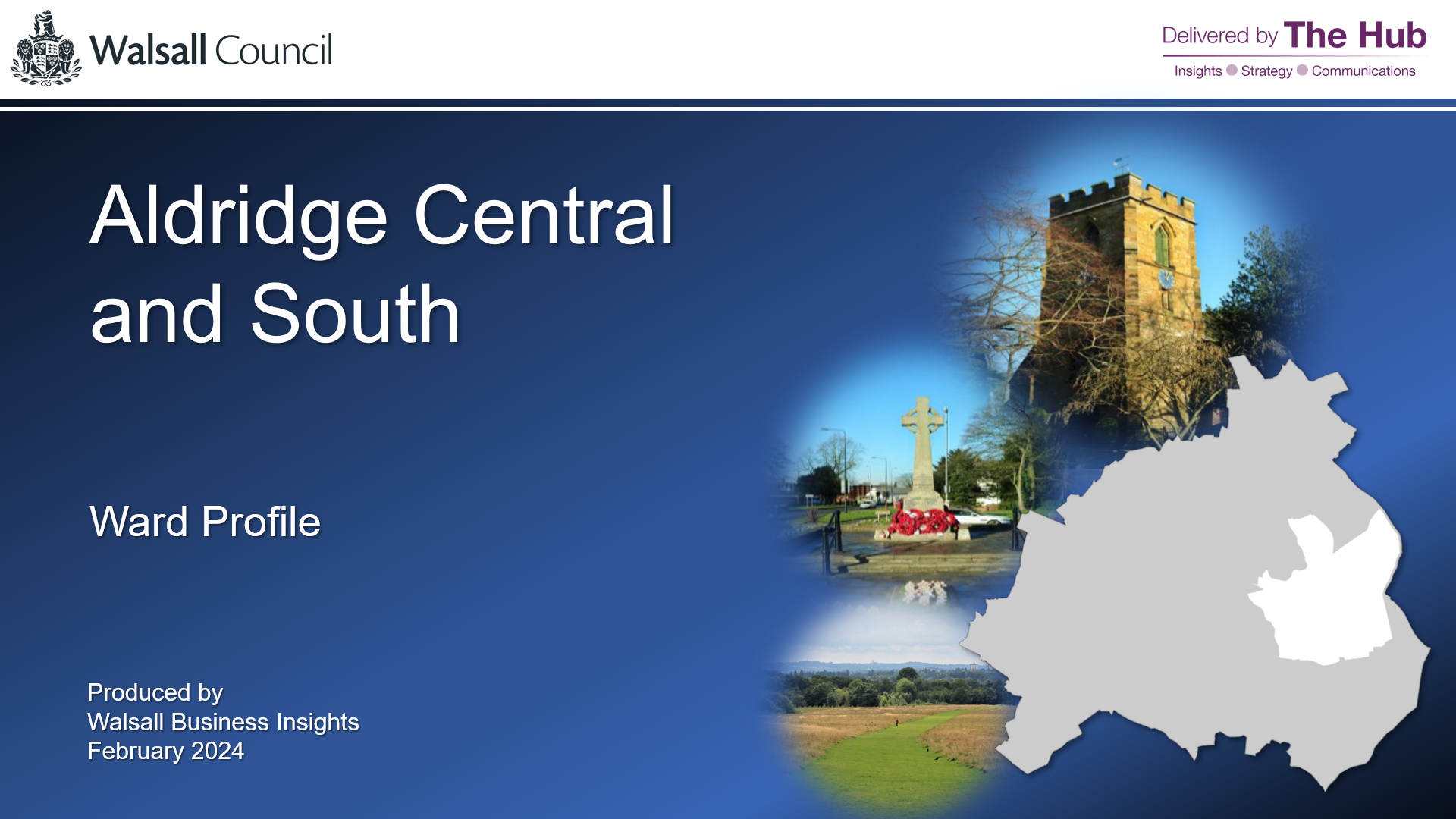
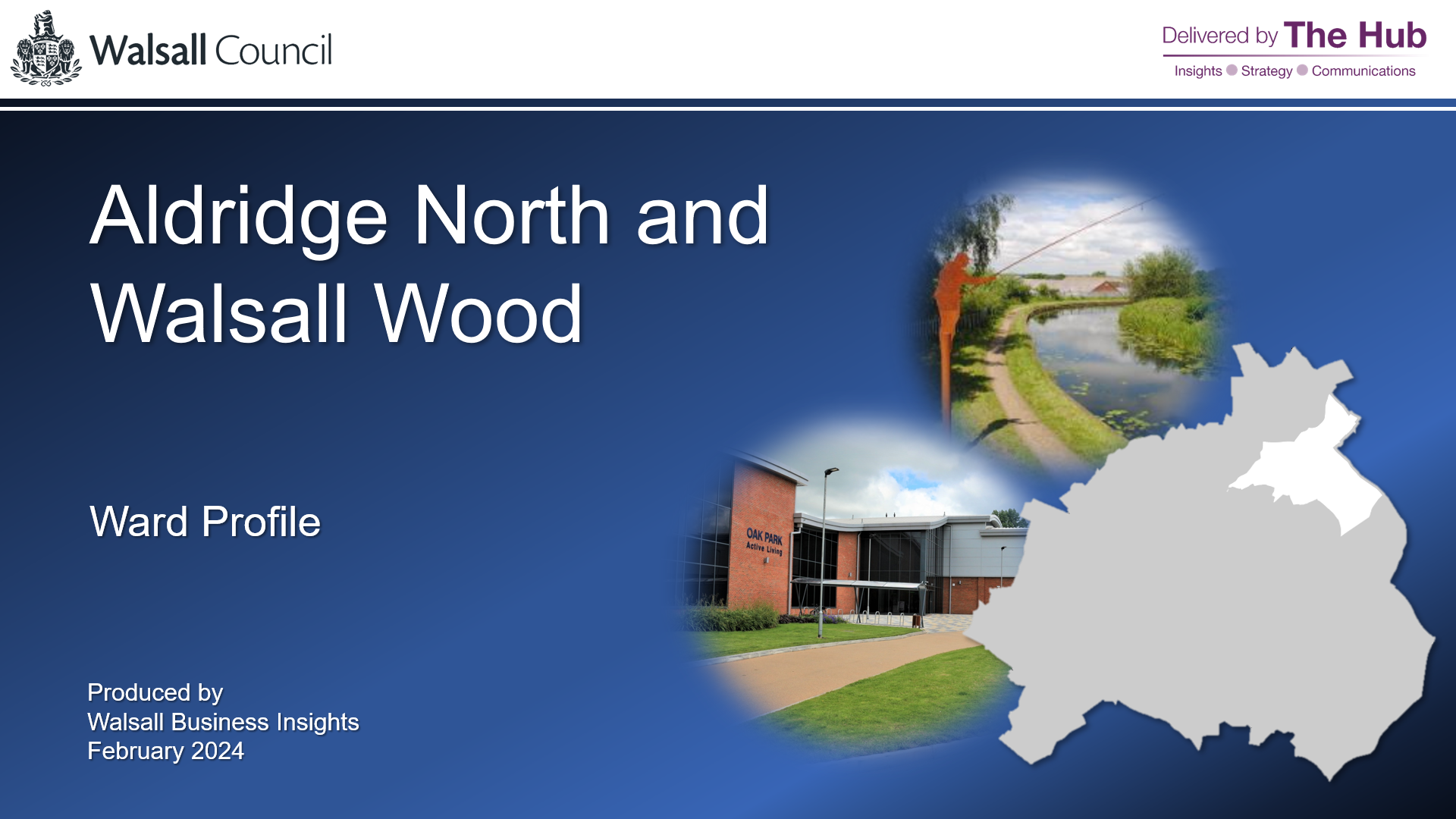
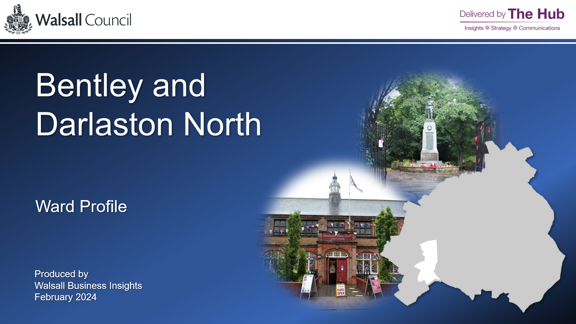
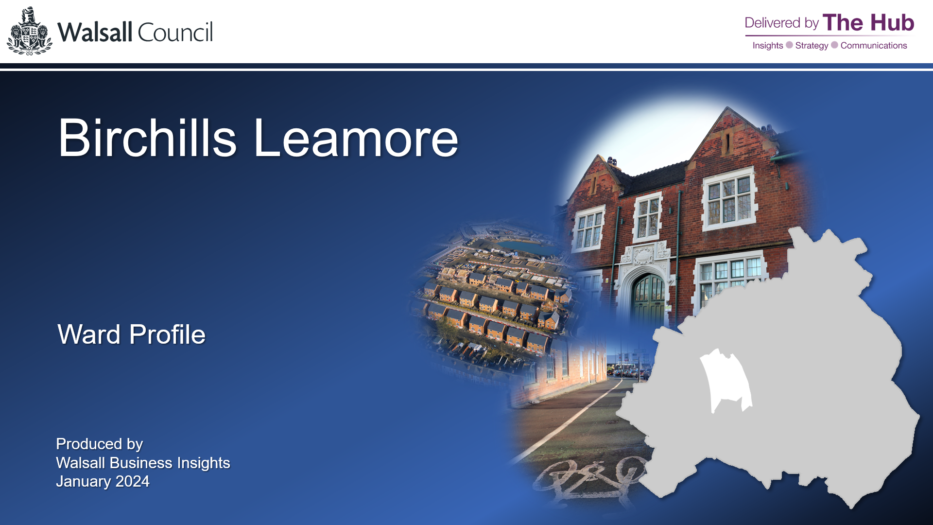
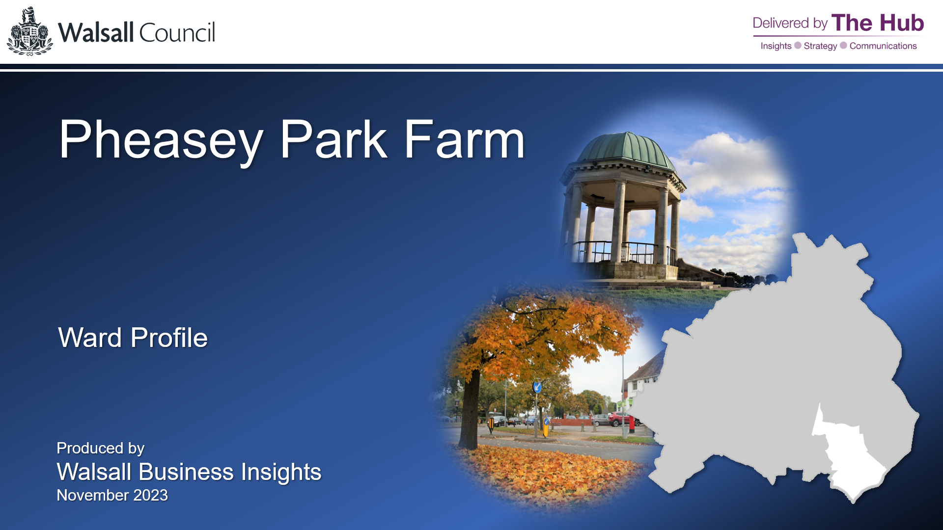
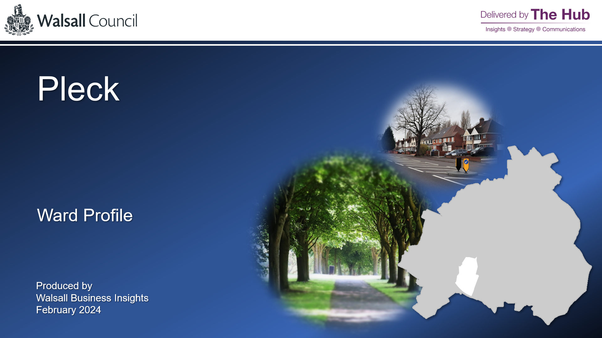
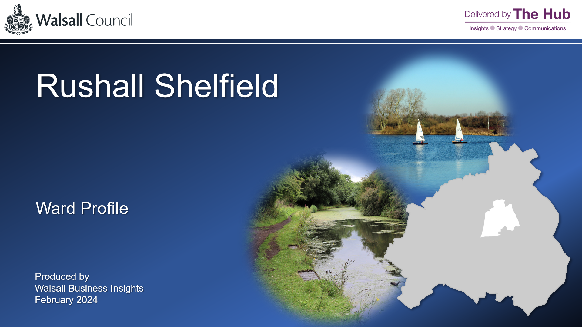
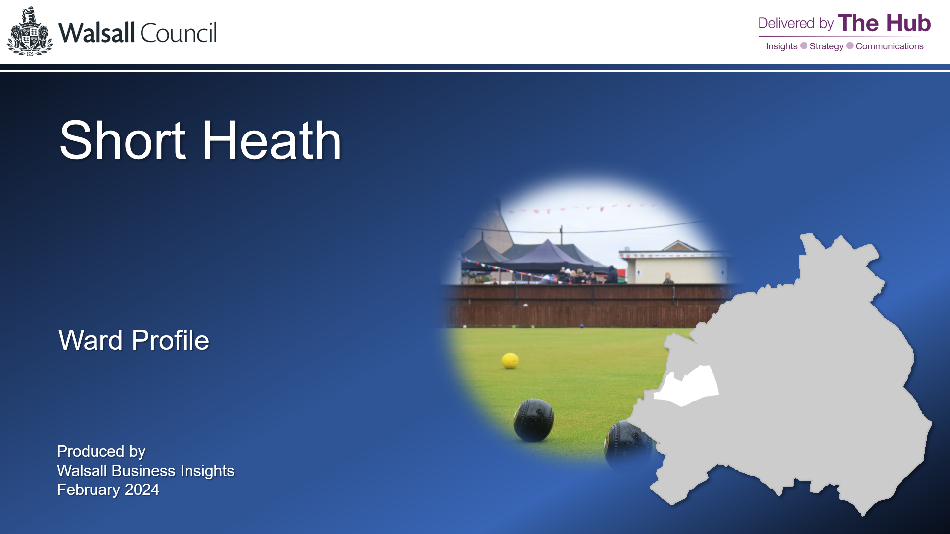
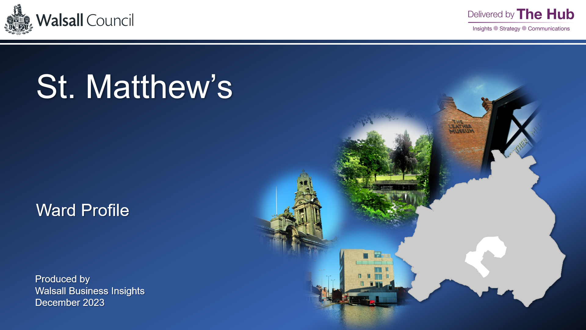
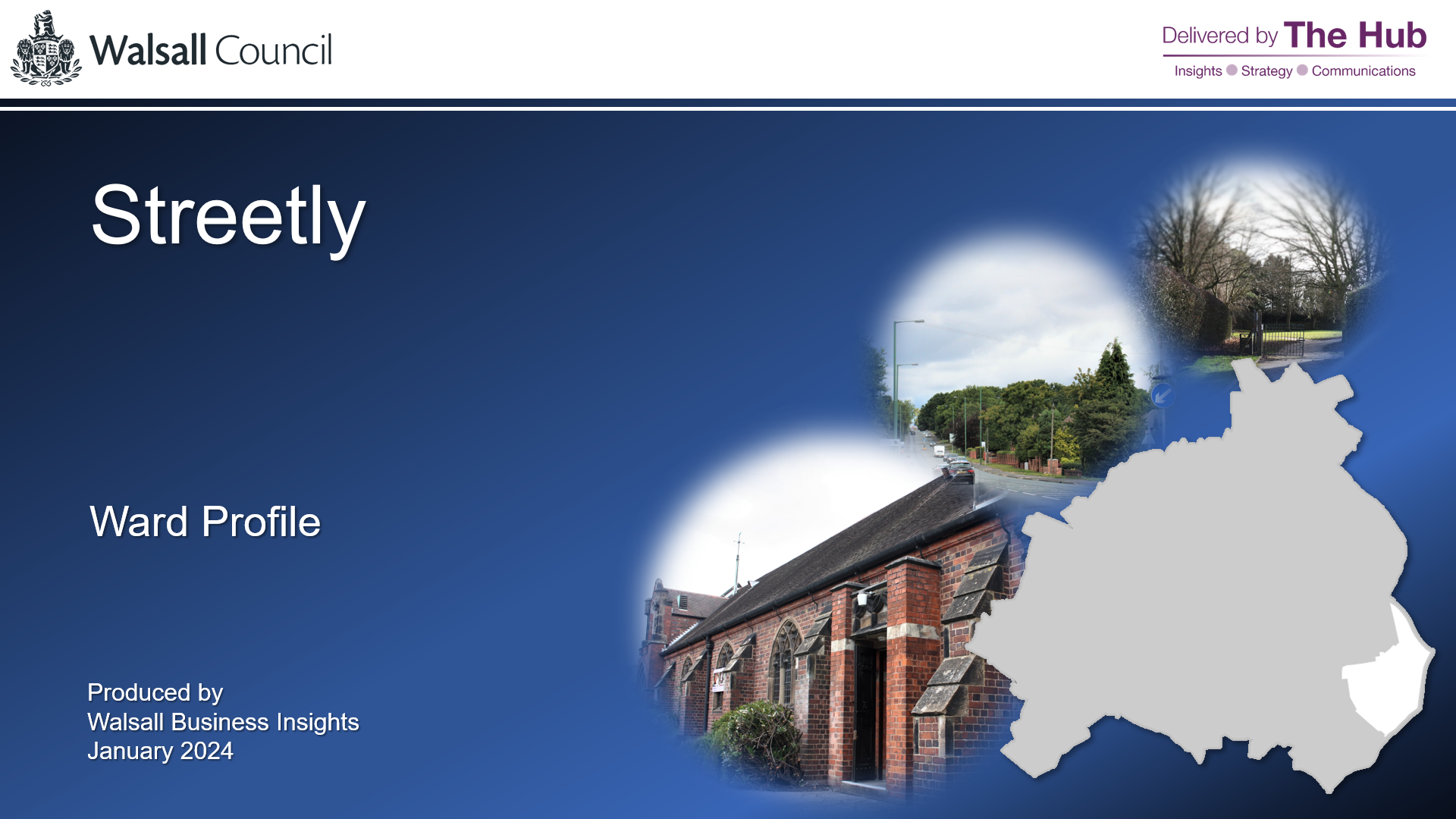
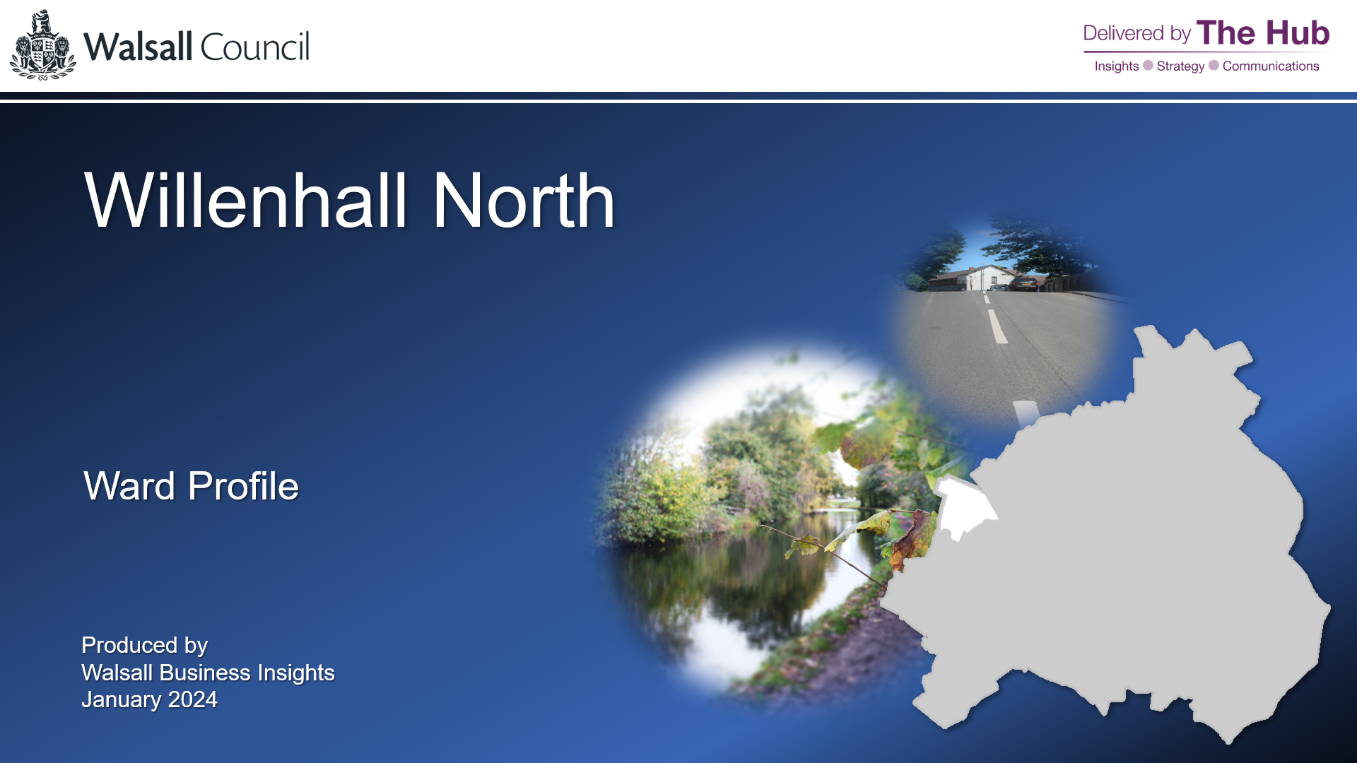
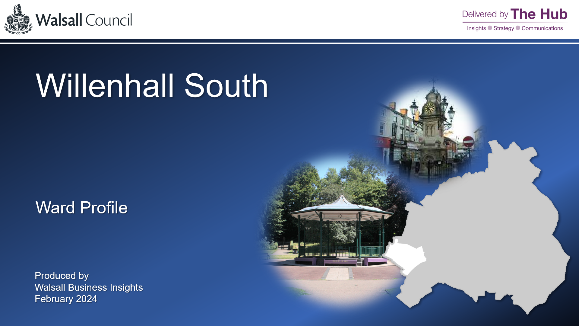
Ward Profiles
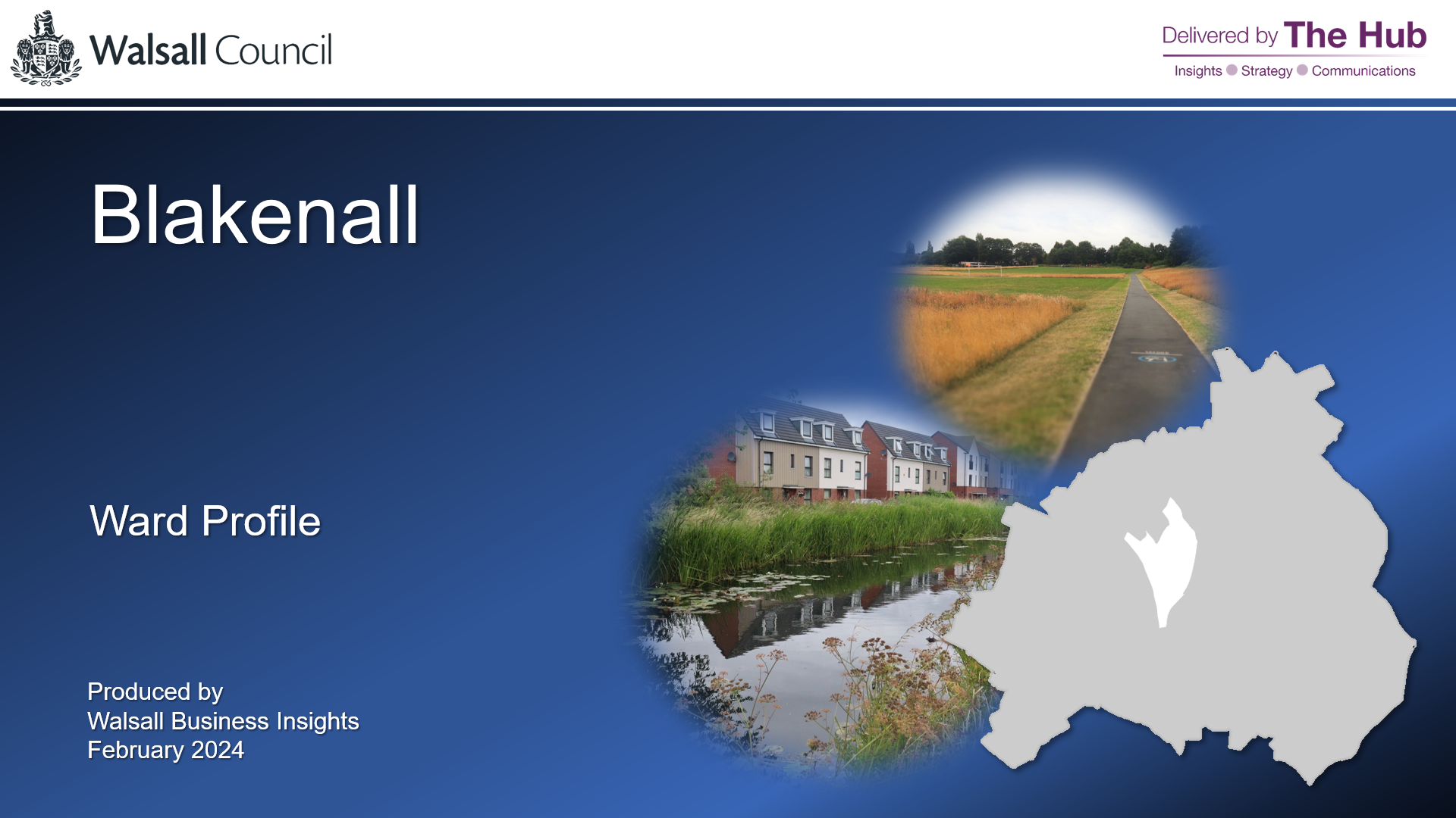
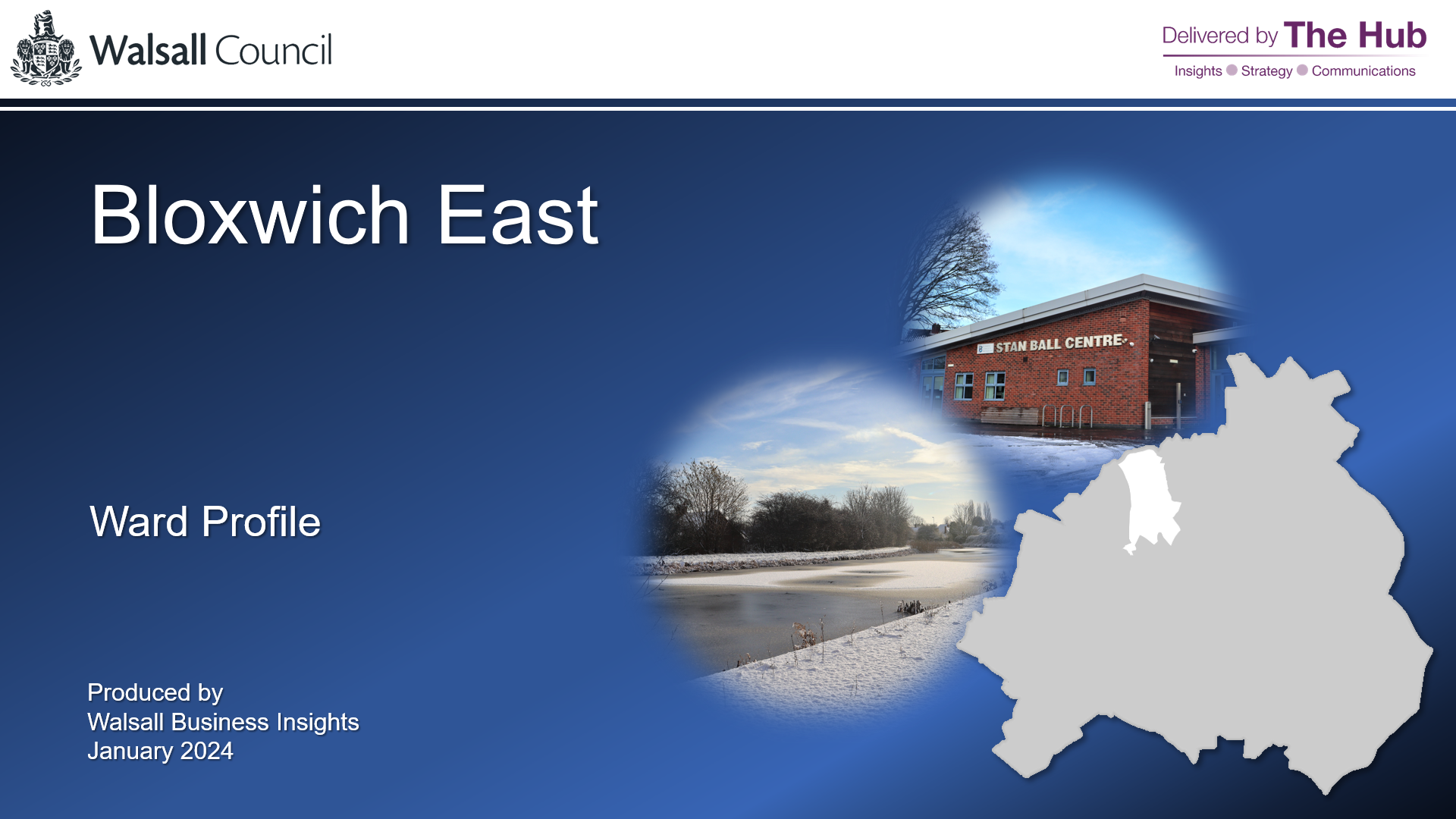
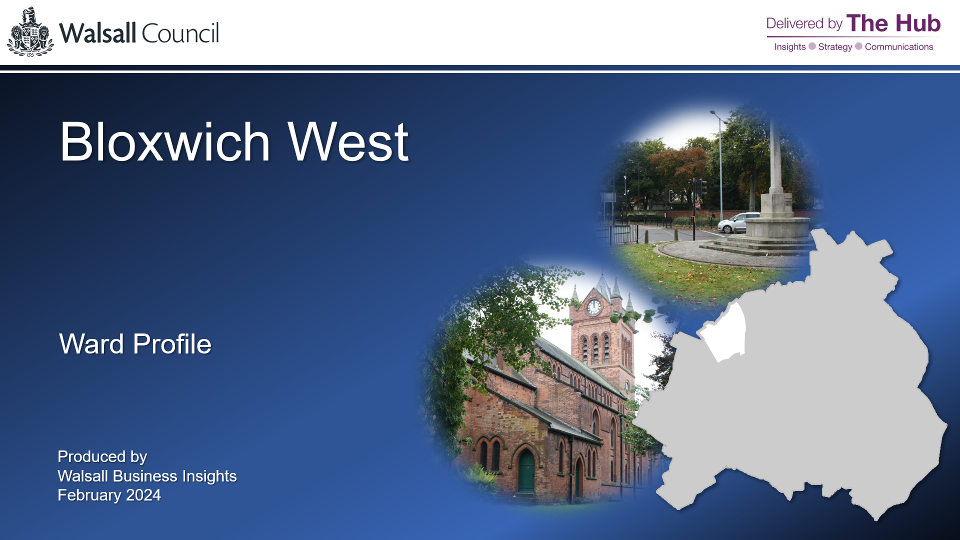
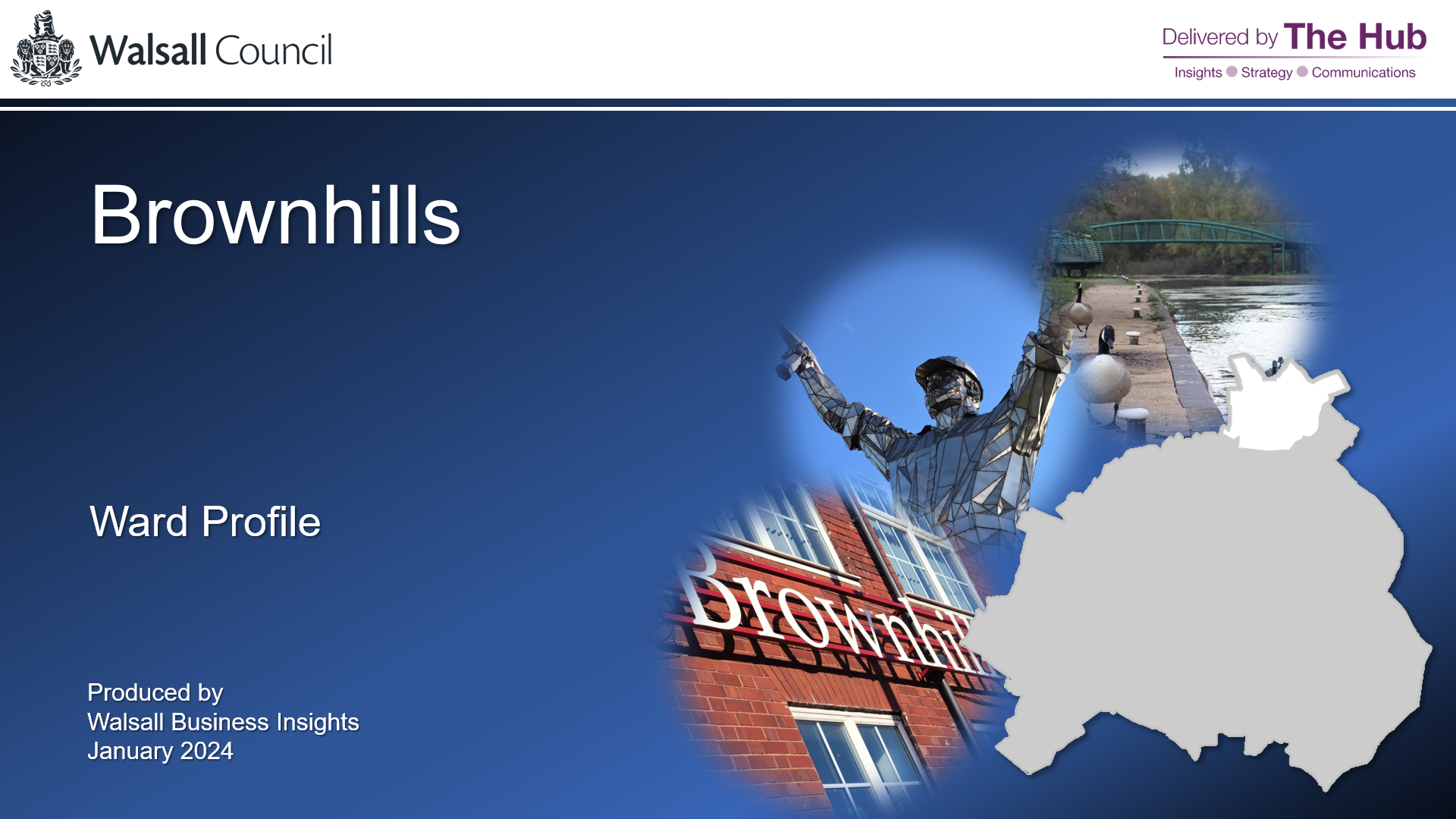
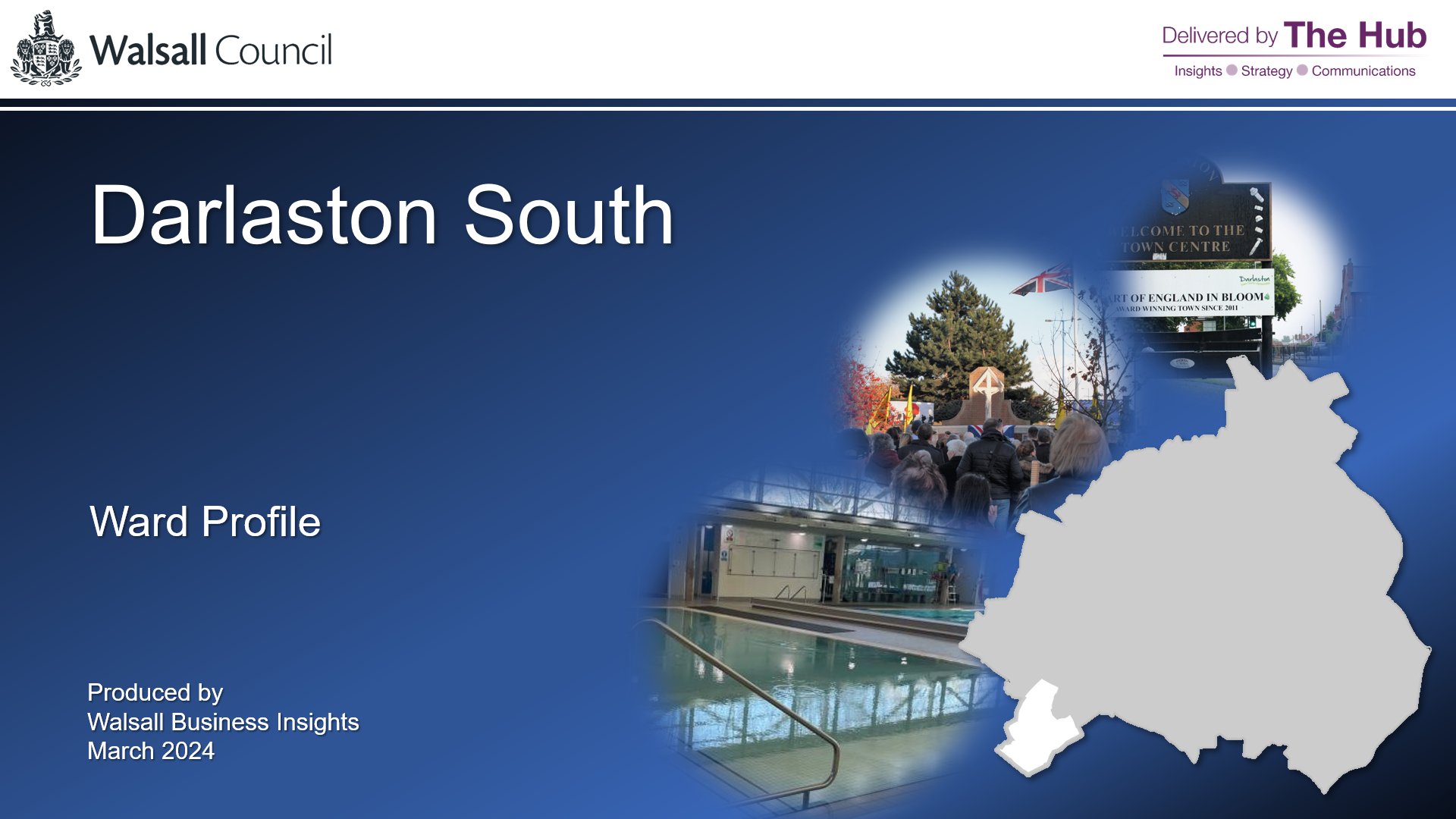
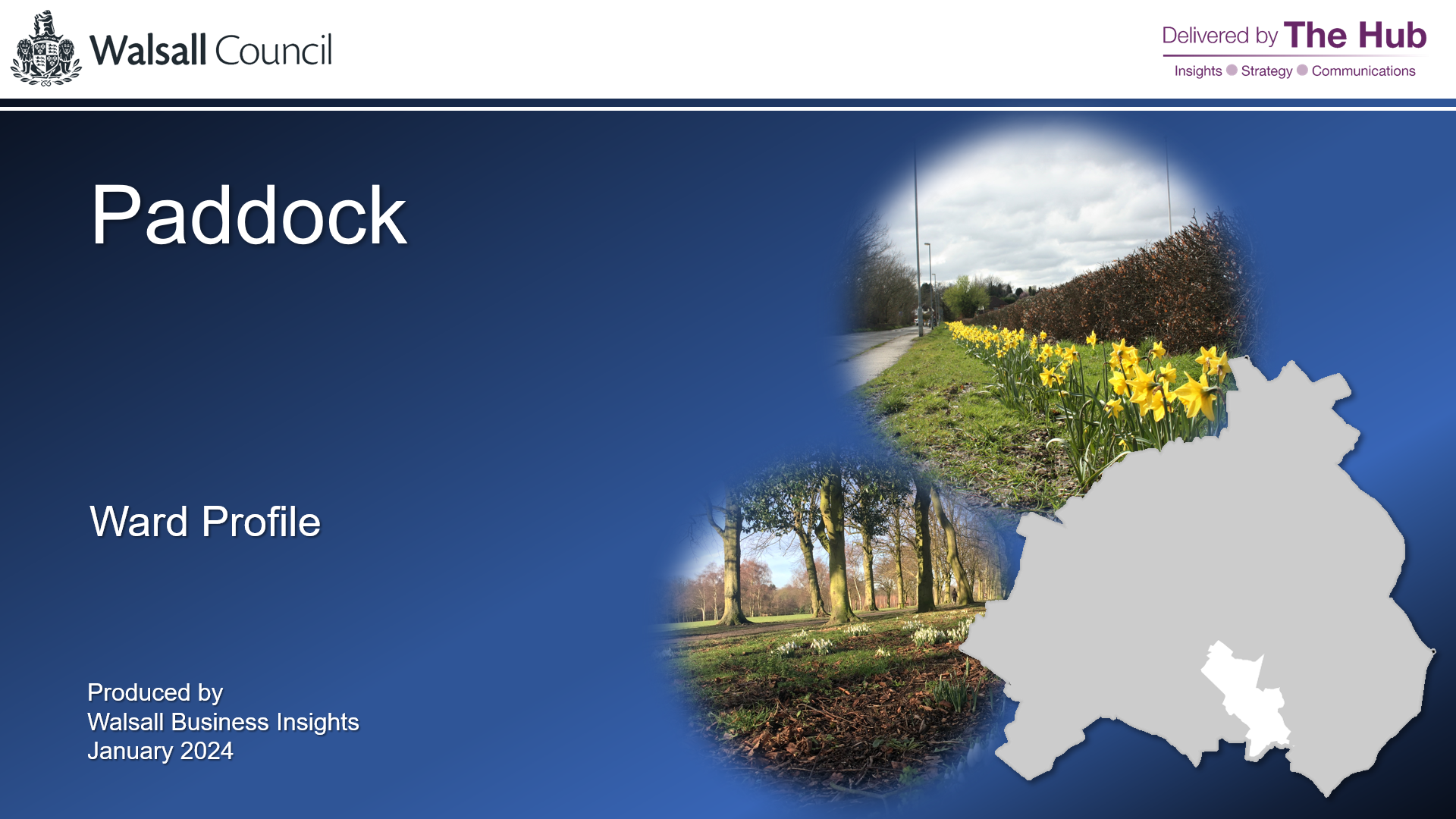
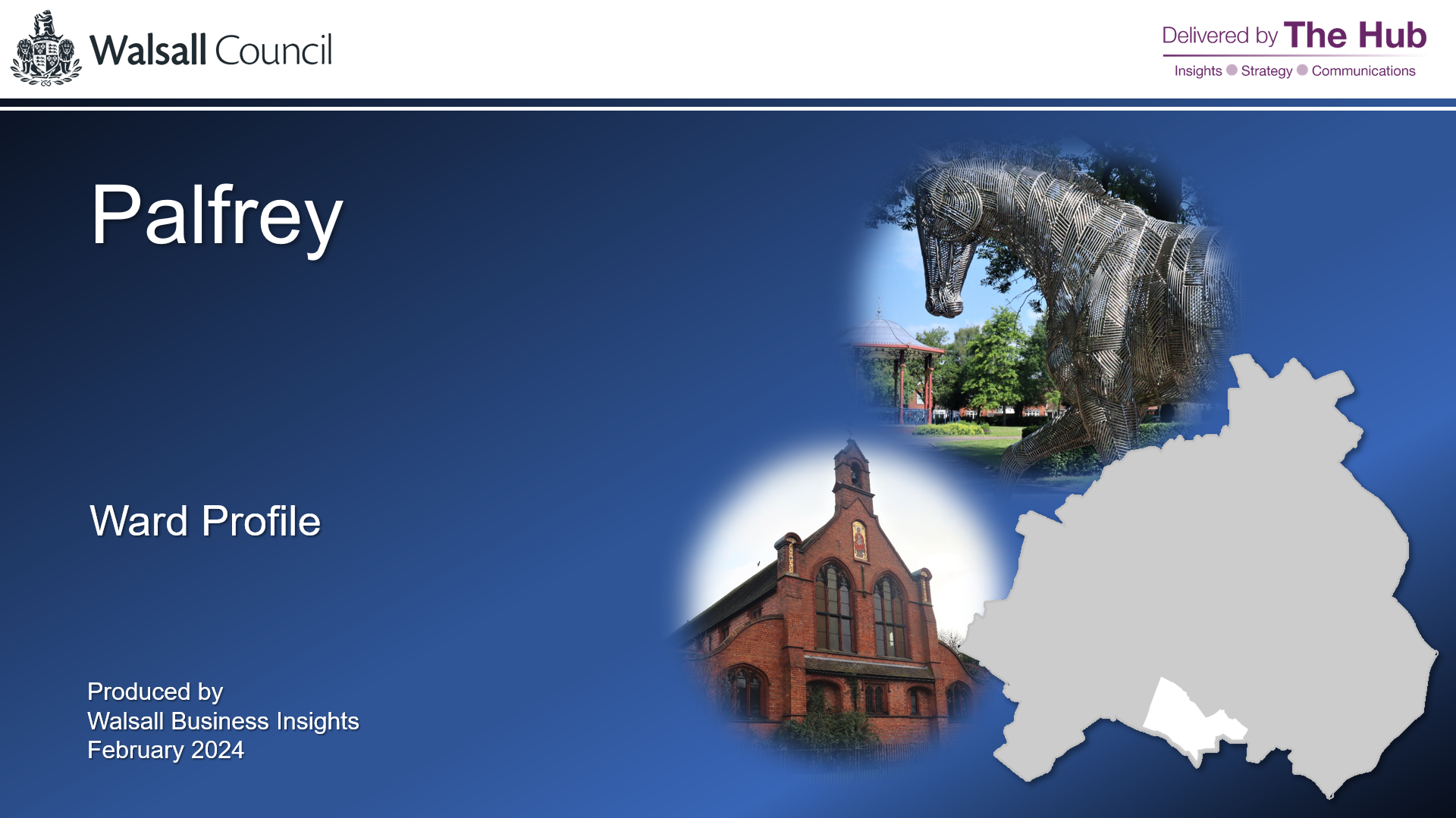
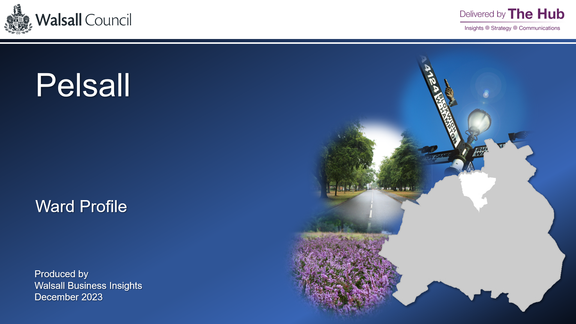
Walsall Borough comprises 20 wards, many of which vary greatly from one another. By understanding their characteristics, we can better determine what the needs of it's residents may be, and the services that they may require. This is best shown through the ward profiles, which have been created using a wide variety of data to give a snapshot of each wards demographic, residential and economic composition.
Previous Versions (2020)
Census Profiles (2011)
Locality Profiles (2020)
Copyright disclaimer:
Maps included in the ward profiles are subject to the following copyright: Reproduced from the Ordnance Survey mapping with the permission of the Controller of Her Majesty's Stationary Office. © Crown copyright. Unauthorised reproduction infringes Crown copyright and may lead to prosecution or civil proceedings. © Crown copyright and database rights 2024 Ordnance Survey 100019529. A-Z maps reproduced by permission of the Geographers' A-Z Map Co.Ltd. License No. B3934. Crown Copyright 2024. All rights reserved. Licence number 100017302. No further copies may be made.

